Storm Ciaran hit the Southern half of England on the evening of Wednesday 1st November and further intensified to a severe storm on Thursday 2nd November.
One distinct feature of Storm Ciaran was that it seemed to be a Wind Wave Storm. A characteristic of a storm of this nature is the Significant Wave Height (SWH), the average height of a third of all waves. It is thought if SWH, reaches above a certain threshold, waves of this height have the potential to move significant amounts of beach material.
The SWH at Hemsby was forecast to be 2.4-3 metres, with wind speeds of 50/70 km/h, with a southerly/south-easterly direction. At Felixstowe SWH was forecast to be 2.4-3 m, with wind speeds of 65-75 km/h, with a southerly direction. At Lowestoft SWH was forecast to be 2.4-3 m, with wind speeds of 50-70 km/h, with a southerly direction. At Lowestoft the general, long-term SWH Storm Threshold measurement is 3.11 metres and at Felixstowe it is 1.94 metres.
The Met Office Surface Pressure Charts indicate the presence of weather conditions likely to produce disruptive sea states. The charts showed the Low-Pressure values for Storm Ciaran to be around 980 mb off the Southwest Coast at midnight on Thursday 2nd November, deepening to 972 mb at 12 pm on Thursday 2nd November. The Shipping Forecast produced by the Met Office gave the status as Low 100 miles west of FitzRoy 972 expected Humber 956 by midday tomorrow.
Low-Pressure systems have the potential to raise the sea level, potentially producing damaging storm surges, strongly influenced by the meteorological conditions at the time. A small surge was forecast for Lowestoft, with a surge of over 0.5 metres forecast at Cromer.
Another interesting feature of Storm Ciaran was that it was forecast to be a very slow-moving storm, likely to cause heavy periods of rain or strong winds to remain over Southern England, and the coasts of the South West, the English Channel and the North Sea for some time. Not to draw any parallels, but one of the features of the 1953 Storm was that it was extremely slow moving over the North Sea, which expanded the length of the wind area, increasing the surface capacity of the wind to produce damaging waves.
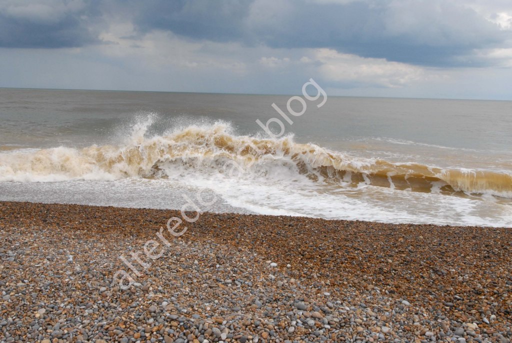
As in a storm of this magnitude, Wind, Waves, Rainfall and Sediment can dynamically interact to unleash intense damage on vulnerable, fragile coastlines.
In addition to concern about destruction, is the sudden sense of loss caused by erosion. The rapid destruction or diminution of landscapes, changed potentially forever by the wind & the waves.