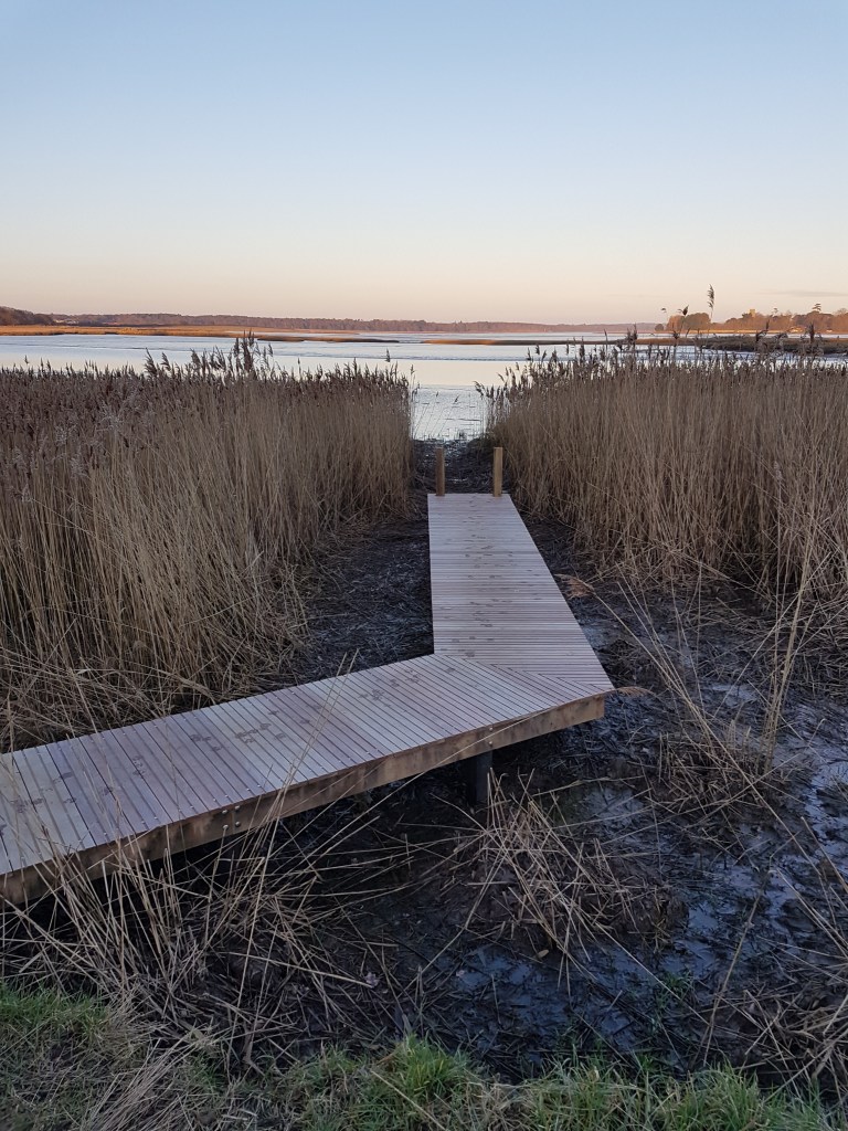
A selection of photos taken in February 2021 show the current landscape of Aldeburgh Marshes and Hazlewood marshes as well as the history of the scouring effects of the tidal surge in December 2013.
The first photo shows the lasting affects of the scouring of the trees at the back of Hazlewood marshes, alongside the raised islands created more recently by Suffolk Wildlife trust to attract Avocet’s and other birds.
Hazlewood Marshes, Suffolk
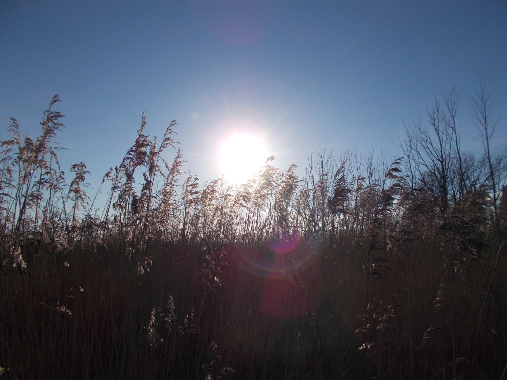
The second photo shows reed beds which have survived at the back of Hazlewood marshes. The Reed beds would have been important habitats for Bitterns when the marshes were freshwater habitats before the tidal surge.
Hazlewood Marshes, Suffolk
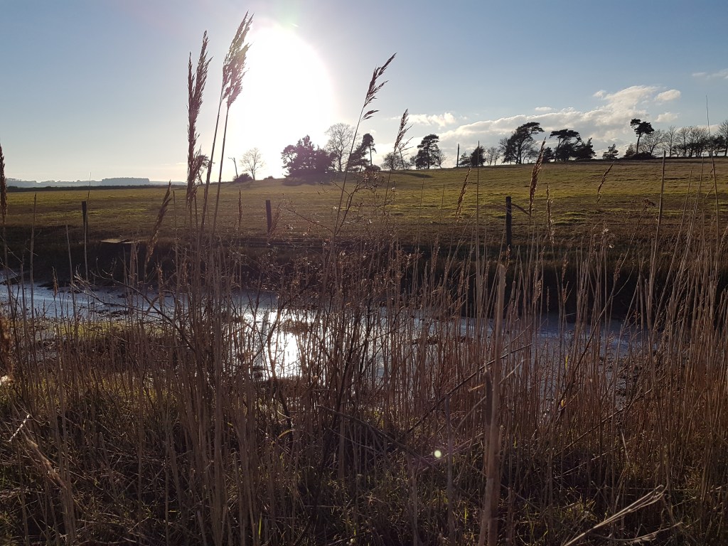
The third photo is taken from the top of the estuary flood defences, looking out to Aldeburgh marshes on the right and the Alde Ore Estuary on the left. The flood defences are built to reduce the effects of tidal surges risking damage to Aldeburgh marshes and town.
Flood defences, Aldeburgh marshes, Suffolk
The fourth photo looks out on the Estuary at the shore of Iken Cliff, near Snape. Flood defences at Iken marshes, near Iken cliff were subject to partial and actual breaches due to the tidal surge in December 2013. The breaches to the freshwater reserve were repaired quickly, but the area continues to be vulnerable to future breaches due to tidal surges. Flood defences out in the estuary show signs of previous breaches.
Finally, the peace of the winter sun on Hazlewood marshes, shows a reserve that continues to thrive and is home to many native and migratory birds. But the area, like the rest of the estuary is subject to the forces of the North Sea and the ability of aging flood defences to withstand rising sea levels and consequent storm surges.
Havergate Island is situated near the Suffolk village of Orford, at the meeting of the Ore and the Butley rivers. The Ore divides in two around the two-mile long Havergate Island with flows splitting through what is known as the Gull on the north side of island and the Narrows on the south of island. Coriolis forces, roughly defined, state a force influenced by the earth’s rotation tends to deflect moving elements to the right in northern hemisphere and to the left in southern hemisphere. Such forces would suggest flood tidal flow would run through the Narrows and ebb flow through the Gull. Both flows are similar in width, but the Gull is much deeper.
A video, kindly provided by the RSPB taken by a warden at Havergate in 2019, shows a breach caused by a sea surge. The breach was at the narrowest part of the island, on the side facing the Gull, on Havergate Island.
A large sea surge in December 2013 breached the sea walls at Havergate. In order to limit damage from any future surges, the RSPB, introduced a scheme to allow certain areas (known as ‘sills) to overtop. The purpose is to allow the sills to flood in a relatively controlled manner to manage water inundation and enable areas recover relatively quickly.
This approach seeks to address the problem of storm surge sea water once it enters a reserve scouring (eroding) the insides of sea walls fundamentally weakening them. When this occurred during the December 2013 storm surge, the RSPB at Havergate built up damaged walls, but are aware the walls may never be as strong as they were.
Internal scouring of sea walls was one of the main causes of damage following the 2013 surge. As the reserve contains saline lagoons the flooding of salt water wasn’t as damaging as it was to the freshwater marshland at Hazelwood marshes. Wildlife has also recovered following the 2013 surge with the hare population recovering and uncommon yellow vetch growing again.
As the RSPB have lowered sections of the sea wall, they are able to utilise sluice gates to allow flood water to leave lagoons without surges causing lasting damage. The process for creating the lower sea walls in addition to reducing wall height involves laying wire netting on the lowered sea wall and sowing grass seed. Once the grass has grown, combined with the wall lowering and the net laying, it should enable defences to withstand several hours of overtopping. Such schemes are favoured as they enable constructive management of overtopping. Which often proves cheaper than dealing with breaches in sea walls which are seen as more damaging and costly to fix.
Regarding the future of Havergate Island, it has been predicted by site manager Aaron Howe that the reserve could have another 20-40 years before it succumbs to coastal erosion. Increasing storm surges and rising sea levels are developing alongside another process, known as Isostatic Rebalancing. This refers to the post-glacial rebound of northern Great Britain which is said to be happening at a rate of around 10cm per century. This is causing a corresponding downward movement of the southern half of Great Britain, which is developing at around 5cm per century. This could increase the risk of floods in southern England.
The sea is nibbling away at Havergate, and the RSPB believe tidal surges are increasing, but the wardens and site managers work hard to adapt and evolve. As do the many bird and wildlife species the island is famous for. In this way, Havergate, placed as it is, in the middle of a tidal estuary shaped by the North Sea, serves as a barometer of the evolution of tidal reserves and species, and the size and nature of sea surges. Like the boat October Storm that takes visitors, to and from the island, Havergate is pushing into its tidal fortunes, to innovate as currents and surges shape its environment.