In a continuation of discussions about Sudbourne beach, south of the Martello Tower in Aldeburgh, Suffolk, consideration will be given to the current position of Sudbourne beach.
Thanks to access granted by the Environment Agency, it has been possible to get a recent visual image of the dynamic interplay between the sea, the shingle ridge and the Alde and Ore Estuary.
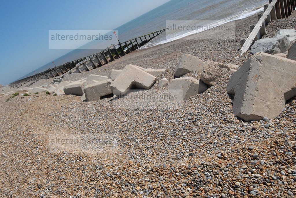
Along this stretch of coast, there are three types of flood defence, which form structures within and on top of the shingle ridge, which stretches from the Martello Tower down to Orford Ness. The flood defences rather than form an impenetrable barrier, either flex in response to the action of the waves, or attempt to mould the shingle around boulders and concrete pillars, while the sea scours indents into the shingle ridge at the top of the flood defences.
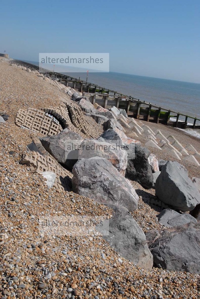
The Environment Agency recycled the shingle ridge on Sudbourne beach in 2018, but this work was undone by winter storms in a matter of weeks. The purpose of this recycling and the use of flood defences seen on the edge of Sudbourne beach, and the use of Saltings between the shingle ridge and the estuary is to dissipate the energy of the waves when they hit the beach. Even though these defences, on their own will not ultimately stop a breach, as can be seen by the failure in the interlocking block revetment, which is beginning to outflank the end of the flood defence. They do attempt to hold together the natural structures of the beach. The situation at Aldeburgh offers a useful case study into types of flood defence, as either side of the boulder etc defences, the sea is pushing shingle ridges higher up towards either the estuary or the built-up areas of Aldeburgh.
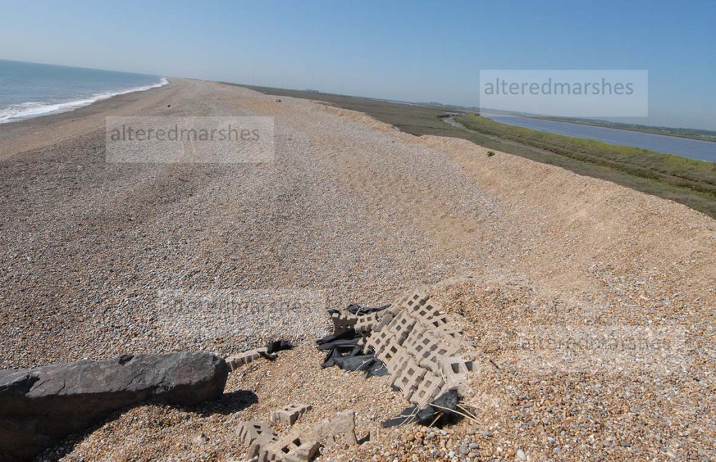
As it is the sea that is dominant here. The ridges on the beach show the reach of the tides, the ridge nearest the shore is the low tide and the ‘cliff’ ridge at the top of Sudbourne beach signifying the reach of a high storm tide. This ridge has been gradually getting narrower with shingle being eroded from the sea-facing, front of the ridge. It is also noticeable that the shingle ridge at the top of Sudbourne beach, swerves back away from the sea, towards the estuary. The height of the ridge is maintained, but the top of the ridge becomes narrower and seems to reduce the distance between shingle ridge and the edge of the estuary.
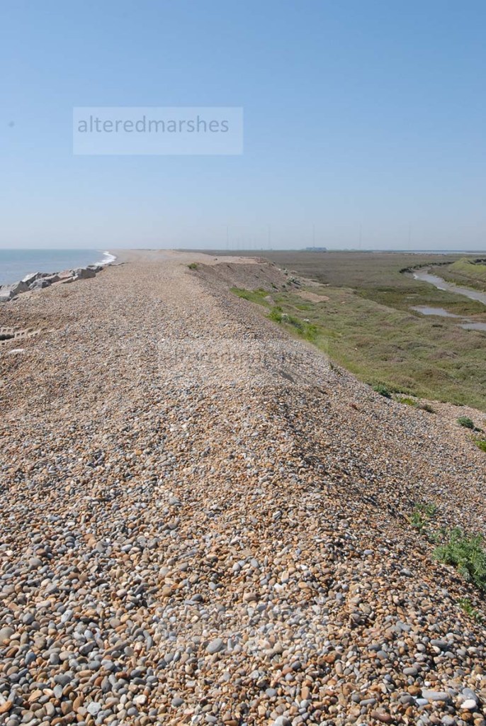
There are visual signs that the sea has overtopped the section of shingle ridge south of the Martello Tower.

It is both the day to day, dynamic interplay between wave action and winds as well as occasional storm events that contribute to the instability of this stretch of coastline.
 alteredcoast
Leave a comment