As high winter waves on the Suffolk coast continue to be recorded at Lowestoft, with Storm Barra, on the 7th December, seeing a maximum wave height (MWH) of 6 metres with a significant wave height (SWH) of 3.37 metres. This discussion will consider the definition that a SWH of 3.11 metres or above, with a return period of four times a year, has the potential to move significant amount of beach material. Wave data is from Coastal Monitoring.org.
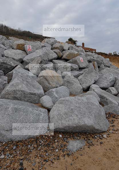
As a focus for a discussion of what it means for storm waves to move significant amounts of beach material, a beach near Thorpeness, that has undergone considerable erosion in recent years will be considered. An emergency flood defence, in the form of a 35-metre rock revetment was installed in October 2021 at the northern end of Thorpeness beach in a partnership between Coastal Partnership East (CPE) and the Water Management Alliance. CPE believe Thorpeness experienced “more intense levels of coastal erosion” last winter and this prompted the emergency response.
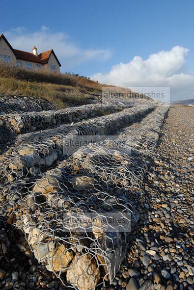
A number of flood defences have been constructed, over the years at this section of beach including wire-filled gabion baskets installed in the 1970s, and geotextile bags and small rocks installed in May 2021 as a short-term solution. However, recent powerful storms have demonstrated just what a hard job coastal flood authorities face, to manage ongoing erosion. Photos taken less than 6 weeks apart show significant damage to the bags and rock cages. Firstly, a photo taken on November 21st 2021, shows the intact bags and cages.
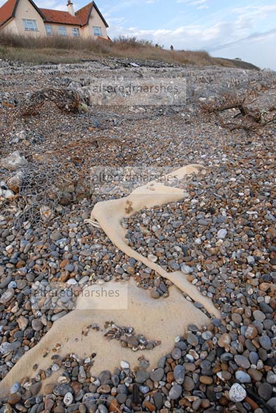
Whilst a photo taken on January 1st 2022, shows the damage caused by storm waves to the flood defences.
Secondly, at the area of beach, subject to the most severe erosion, a photo taken on November 21st 2021, shows scouring at the base of cliffs.
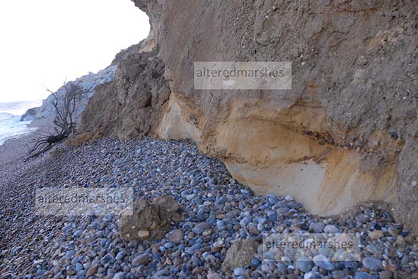
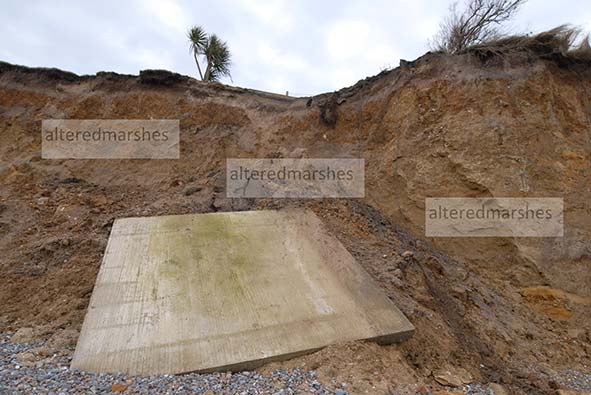
A subsequent photo shows how a vertical landslip down the face of the cliff, has caused a large square piece of concrete to fall from the top of the cliff. Descriptions of erosion processes do say that scouring at the base of a cliff can ultimately lead to a land slip of the cliff above, but in this specific case, it is not possible to establish a causal link.
Thirdly, two photos give a wider view of houses at the top of the cliff with a view to the newly installed flood defences.

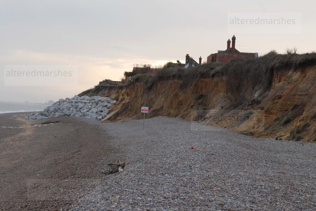
The later photo above seems to show how erosion has stripped back the surfaces at the base of the cliff. It is also interesting to note how much shingle has been removed from the beach and how much the remaining ridge of shingle has been pushed back up the beach.

Future discussions will consider the history of flood defence approaches on this dynamic stretch of coastline, and examine the erosion processes that continue to alter beaches and cliffs.


Leave a comment